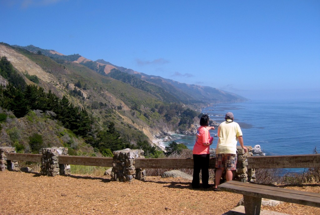
California is war torn, and the hard dry landscape does not bear its injuries decorously. Each burned-out swatch of wildfire victimized land, each bulldozer gouge, each swath of stolen hillside, each mark of human commerce, all stand naked against their surroundings, unmitigated by time. Even the great heavenly chunks of untrammeled nothingness lay exposed, up against the dense clusters of exurban sprawl. But, the hum and buzz of breathtaking oceanfront miles of winding open road await — visions of rustic farm towns unfolding into sun-bleached fishing villages, the sun, the salt, the crispy California coastal air that will become transform the narrative, via a storied and scenic backdrop.
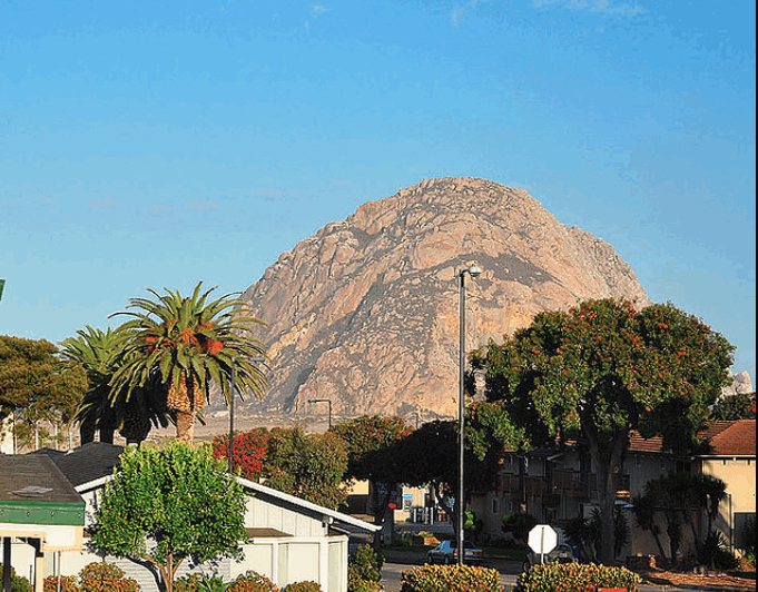
 Morro Rock is the fat, rugged 576-foot mound of splintered volcanic dacite that guards the entrance to Morro Bay, at the mouth of a three-and-a-half-mile north-south estuary formed by a spit of bulky sand dunes. Explorer Juan Rodriguez Cabrillo named the rock El Moro in 1542, because it reminded him of a turbaned Moor. Over the centuries the name evolved into the less poetic Spanish homonym, Morro, or knoll.
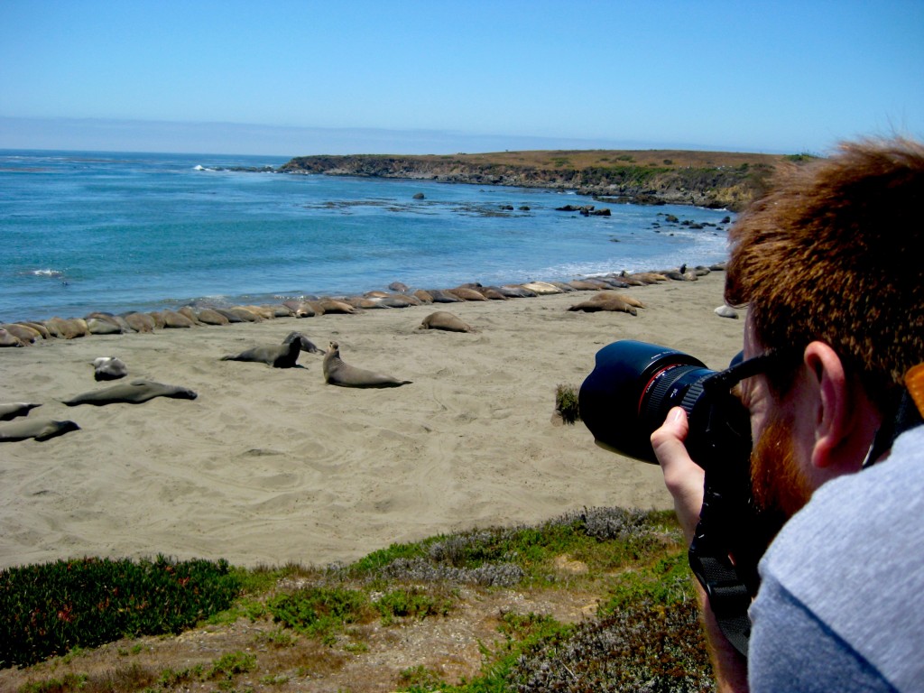
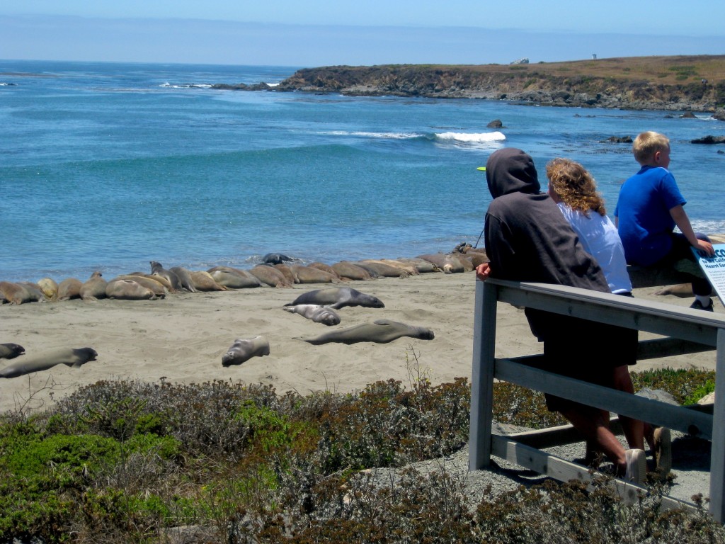
At the center of the Central Coast in San Luis Obispo County is Morro Bay, a gently beautiful coastal town with an unusually high population of landlocked, airborne and aquatic wildlife; egrets, herons, sea otters, and a enormous colony of sea lions who pose and cavort for the camera, yuking it up in the water, flopping out of the ocean, tossing cooling sand on their fat bellies, then settling in.
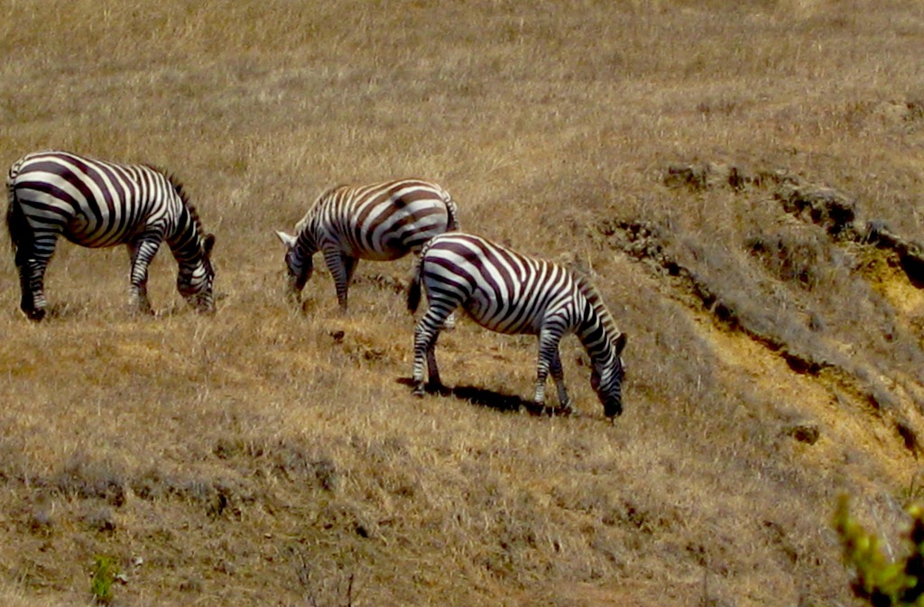
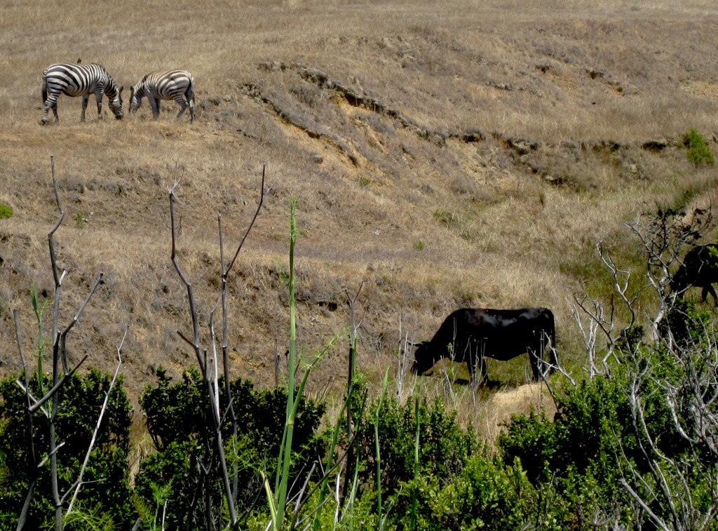
On the mountain side, there are miles of horses and cows and then…..zebras. zebras and cows mingling like completely acceptable. The sight of freaking zebras dotting the landscape at the side of the freeway sent drivers hitting the brakes and scampering out of their cars with their cameras.
